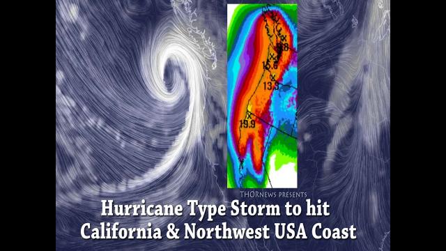
S California Coast! I don't Trust 2x Cannibal Hurricane John & Hector looks Stronger than forecast
Description
Weird glitches are everywhere. You have been warned!
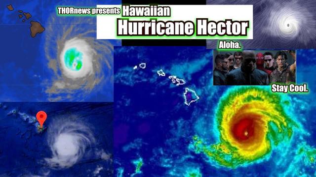
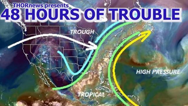
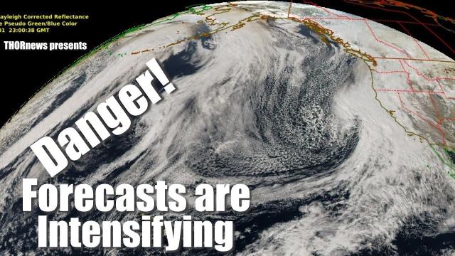
Hurricane John has devoured ileana & is supposed to devour Hurricane Kristy. This is the first time that a Hurricane has Fujiwara'd twice then devoured two separate tropical systems if the models are close to correct. Also, the California Coast waters are 10+ degrees hotter than normal. which is weird. And Temperatures will be around the 80 degree mark when John heads North then west. Hurricane Hector still looks to pass South of Hawaii but it looks stronger than it was predicted to be. So Hawaii will see some rough surf, big waves and probably serious rain with some big wind gusts. but things as so weird. I'd keep your eye on it if you are in Hawaii. This is all pretty crazy.
God bless everyone,
T
https://www.paypal.me/THORnews
Tshirts
https://hitthebuttonbaby.com/
THORNEWS
PO BOX 35946
HOUSTON TEXAS
77235-5946
the crankywxguy blog
http://www.stormhamster.com/entry/e071218c.htm
the wave master
https://dabuh.com/
https://www.accuweather.com/en/weather-news/humid-stormy-weather-to-plague-the-ohio-valley-and-northeast-through-midweek/70005711
Humid, stormy weather to plague the Ohio Valley and Northeast through midweek
Following a few days of stifling heat, high humidity and sunshine, a period of stormy weather is again in store for the Ohio Valley and Northeast through the middle of the week.
After temperatures reached towards the 90-degree-Fahrenheit mark in Erie, Pennsylvania; Columbus, Ohio; and Indianapolis, clouds and storms moving into the area on Tuesday will limit temperatures to the low 80s.
The less hot air won’t feel refreshing to most, as the high humidity is expected to stick around through midweek along with frequent showers and thunderstorms.
Storms will overspread areas from northwestern New England to the central Appalachians, central Piedmont areas and Ohio Valley into Tuesday night.
Any storm in this swath has the potential to pulse and become severe at the local level for a brief time. Very isolated incidents of damaging winds can occur while the greatest hazard will be from drenching downpours at the neighborhood level
Strong storms are in store for eastern Missouri and central Illinois, threatening cities such as St. Louis and Springfield, Illinois, with flooding rainfall and damaging wind gusts. These locations and others can be hit by multiple storms.
The storms and showers will track slowly eastward. While the Ohio Valley dries out on Wednesday, rounds of showers and storms will continue to roll over communities along the stretch of the Appalachians and throughout the Northeast.
On Wednesday, widespread severe weather is not expected, but late-afternoon and evening storms could pack a punch from the central Appalachians to the mid-Atlantic and southern New England coasts.
Gusty storms that would normally be relatively harmless could easily uproot and topple trees in the saturated soil.
On Thursday, rain-free weather is slated to return to the mid-Atlantic, along with slightly lower humidity levels. New Englanders, however, could experience another wet day. With parts of New York, Vermont, New Hampshire and Maine experiencing moderate drought conditions, non-flooding rainfall might be well-received by some interests.
Any dry period at the end of the week will be short lived, as unsettled conditions are expected to return in time for the weekend.