Alert! GIANT Bullseye of Danger & Heat dome over USA. MAJOR floods for East Coast coming
Description
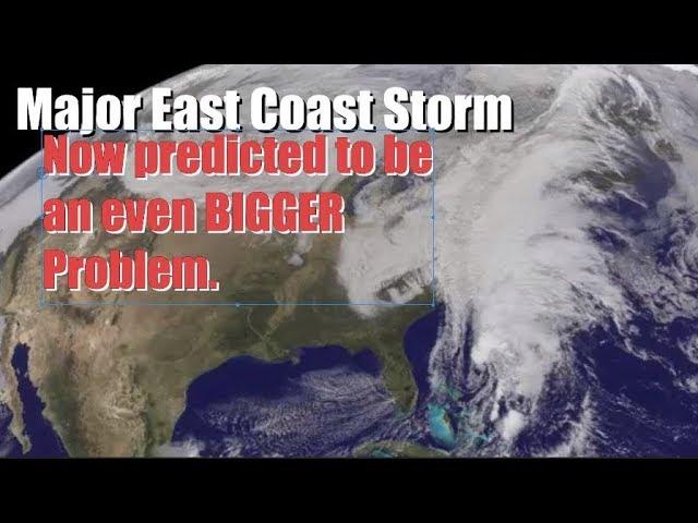
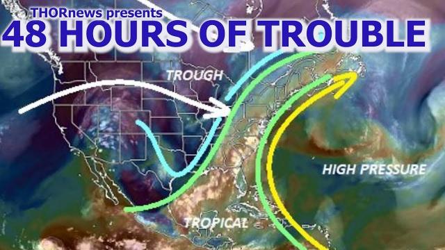
We've got a Giant Bullseye over the USA & a Major Heat dome over the USA. Catastrophic flooding heading for the East Coast over next 2 weeks. It's about to get wild.
God bless everyone,
T
https://www.paypal.me/THORnews
Tshirts
https://hitthebuttonbaby.com/
THORNEWS
PO BOX 35946
HOUSTON TEXAS
77235-5946
the excellent cranywxguy blog
http://www.stormhamster.com/entry/e071818.htm
The Surf Master
http://www.dabuh.com
data site
http://www.spaghettimodels.com/
article on storm
https://www.accuweather.com/en/weather-news/violent-storms-isolated-tornadoes-to-threaten-central-southern-us-into-friday-evening/70005553
Violent storms, isolated tornadoes to threaten central, southern US into Friday evening
The risk of severe thunderstorms, including isolated tornadoes, will progress farther to the east and south over the central United States into Friday evening.
A weather pattern more typical of the middle of spring, rather than the middle of summer will continue the threat of severe weather on Friday.
As AccuWeather accurately predicted, severe storms and tornadoes blasted portions of Iowa, Missouri, Illinois, Kansas and Arkansas on Thursday.
A severe thunderstorm caused high waves on a lake that overturned a tour boat and killed multiple people in the Branson, Missouri, area, while devastating tornadoes tore through several communities in Iowa and caused extensive damage.
While there is a somewhat lower threat of tornadoes on Friday, there is still the potential for a few long-lived thunderstorms that can spawn tornadoes in parts of the Midwest during the late afternoon and early evening hours.
A single tornado that strikes a populated area can threaten a great deal of lives and property.
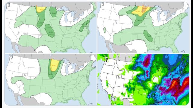
The greatest threat from the storms is likely to be from hail, straight-line wind gusts and flash flooding. The risk into Thursday evening is forecast to extend from northern Indiana and western Ohio to northeastern Arkansas, northern Mississippi, northern Alabama and northwestern Georgia.
The storms may produce hail large enough to damage crops, break windows and dent the metal on vehicles.
Smack in the middle of the severe weather risk area is much of Kentucky and Tennessee, as well as the lower portion of the Ohio Valley and the middle Mississippi Valley.
Cities at risk for potentially violent storms include the cities of Indianapolis, Evansville and Fort Wayne, Indiana; Cape Girardeau, Missouri; Cairo, Illinois; Louisville and Lexington, Kentucky; Cincinnati and Dayton, Ohio; Nashville, Memphis, Knoxville and Chattanooga, Tennessee; Tupelo, Mississippi; and Huntsville, Alabama.
Unusually chilly air for July high above the atmosphere will cause the storms to behave more like spring thunderstorms, rather than the late-day pop-up storms typical of the middle of summer.
The same weather pattern will create some wind shear that is an ingredient for tornadoes. Wind shear is the increase and change in direction of winds relative to increasing elevation in the atmosphere.
The weather pattern is also forecast to mark the beginning of an extended stretch where hot weather will be extremely limited and the potential for showers and thunderstorms to occur often enough to raise the risk of flooding over much of the eastern and part of the midwestern U.S. into early August.