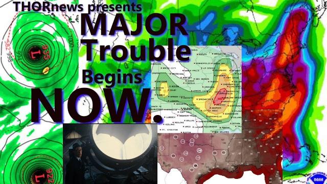
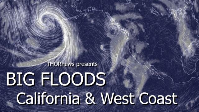
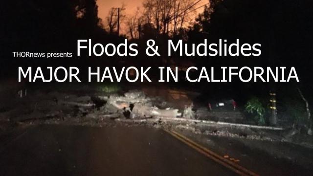
ALERT! DANGER! Major Floods & Mudslides for California & the West Coast USA & Canada
Description
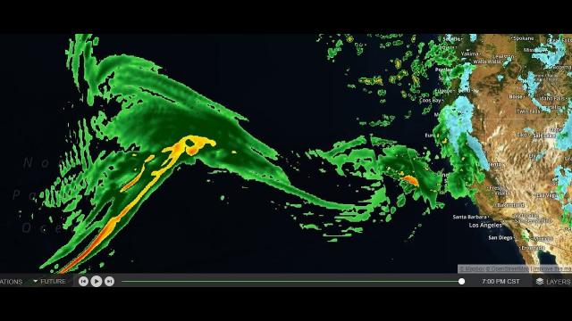
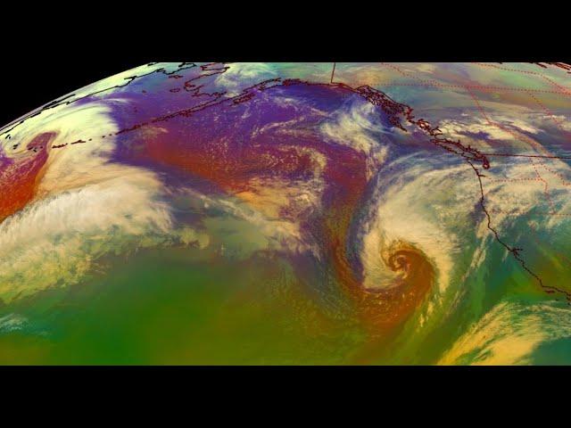
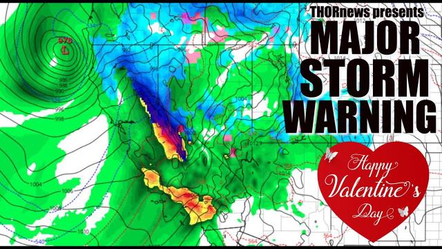
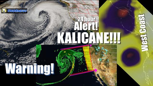
Evacuations have been ordered for Santa Barbara. We've got a full day of heavy rain that will be pouring into California and the west coast causing major trouble for the wildfire burn areas and transportation.
God bless everyone,
T
https://www.paypal.me/THORnews
https://www.patreon.com/thornews
@newTHOR on twitter
https://www.facebook.com/THORnewsthornews
THORNEWS PO BOX 35946
HOUSTON TEXAS
article and video on situation
https://www.accuweather.com/en/weather-news/atmospheric-river-to-take-a-break-following-enhanced-california-mudslide-risk/70004472
Atmospheric river to take a break following enhanced California mudslide risk
Following an atmospheric river and an elevated risk of flash flooding and mudslides into Thursday, a drying trend will begin this weekend and take hold next week in California.
An atmospheric river is a term for a series of storms that focus moisture from the Pacific Ocean into a narrow zone that results in heavy, prolonged rainfall.
While the rainfall is needed, too much rain may fall quickly in some locations.
Cleanup crews will be looking for a break of dry weather once again.
The setup responsible for heavy rain and high-country snow will come to and end by Friday as the fire hose of moisture from the Pacific Ocean is turned off.
However, as a less potent storm over the northern Pacific rotates southward, cool air, clouds and sporadic showers with lowering snow levels will settle in by this weekend.
Most of the shower activity is expected to occur over Northern and Central California, where a couple of thunderstorms with hail may also occur.
"The southward plunge of the northern Pacific storm should have enough moisture to bring an additional moderate snowfall over most of the ski resorts in the Sierra Nevada," according to AccuWeather Senior Meteorologist Ken Clark.
"Southern California is likely to be mainly dry this weekend, although spotty rain showers are possible on Sunday," Clark said.
Temperatures are likely to average near to slightly below normal early next week but a warming trend is likely later in the week, thanks to a string of sunny days and a northward bulge in the jet stream.
In terms of any additional storms this spring, it is still too early to write off the potential for a couple more rounds of significant rain and high-country snow, according to AccuWeather Lead Long-Range Meteorologist Paul Pastelok.
"There will be a greater chance of a couple more major storms that affect the Northwest, including part of Northern California during April," Pastelok said. "But there may still be a storm that travels far enough to the south to spin some moisture in from the Pacific in Southern California over the next several weeks."
However, the odds of a return of the atmospheric river or a drought-busting storm diminish during April based on climatology data from a climatological standpoint.
On average, Downtown Los Angeles receives just under an inch of rain during April, compared to about 2.50 inches during March. This average rainfall diminishes to about one-quarter of an inch during May.
From Nov. 1, 2017, to March 20, 2018, Downtown Los Angeles has received only about 25 percent of its normal rainfall of about 12 inches.
Much of California and bordering states are experiencing conditions ranging from abnormally dry to extreme drought.
Much more rain and mountain snow are needed to avoid difficult conditions from building drought as 2018 progresses.
This even though storms over the past few weeks have nearly doubled the water content of the snow in the high country of the Sierra Nevada since the middle of February, according to the California Department of Water Resources.
As of March 21, the water equivalent of the existing snow cover ranged from 42 to 57 percent of average or from 11.5 inches to 16.4 inches in the Sierra Nevada.
It is the gradual meltdown of the snowcover in the Sierra Nevada during the spring and summer that helps to replenish streams and reservoirs for the balance of the year.