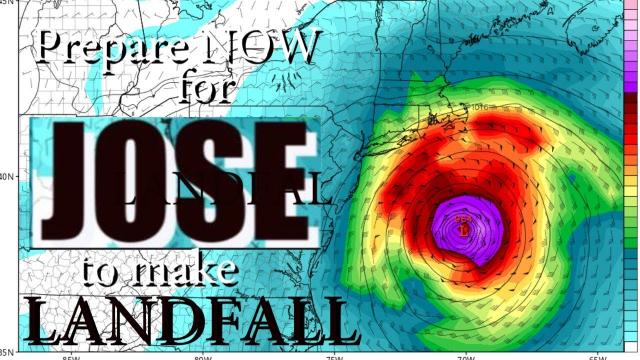
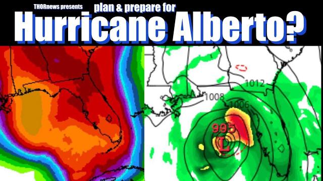
Plan & Prepare NOW! Hurricane TS Alberto Landfall Sunday* Gulf Coast 90% chance
Description
unofficial Hurricane Season has begun.
Plan & Prepare now.
God Bless everyone,
T
https://www.paypal.me/THORnews
THORNEWS
PO BOX 35946
HOUSTON TEXAS
77235-5946
article on Storm
https://weather.com/storms/hurricane/news/2018-05-24-invest-90l-tropical-development-gulf-of-mexico-southeast-flood
Tropical Development Likely in the Gulf of Mexico Memorial Day Weekend; Major Flash Flood Threat in the Southeast, Florida Into Next Week
A tropical or subtropical depression is now expected to form this weekend in the Gulf of Mexico.
The main concern will be heavy rain over a swath of the Southeast and Florida.
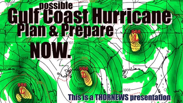
This system will move slowly toward the northern Gulf Coast later in the weekend.
Flash flooding and river flooding may become more widespread and last well into next week.
The risk of rip currents increases through the holiday weekend.
The first tropical or subtropical depression of the 2018 Atlantic hurricane season is now likely in the Gulf of Mexico this Memorial Day weekend, bringing the threat of heavy rain and flash flooding to a large swath of the Southeast and Florida, lasting into next week.
Currently, a broad area of low pressure is located near Mexico's eastern Yucatán Peninsula, producing clusters of thundershowers near the coast from near Cozumel southward to Belize and eastward to the western tip of Cuba.
The National Hurricane Center (NHC) has dubbed this low-pressure system Invest 90L, which is a naming convention used by the NHC to identify features it is monitoring for potential future development into a tropical depression or storm.
For the next day, the system's proximity to land and strong wind shear (change in wind speed and direction with height) won't allow Invest 90L to develop.
This weekend, however, the overall environment is expected to become more favorable for development.
According to the NHC's tropical weather outlook, "a subtropical or tropical depression is likely to form by late Saturday over the southeastern Gulf of Mexico."
The Air Force Hurricane Hunters may fly out to Invest 90L to collect data on the system Friday afternoon or early Saturday
We expect the system to drift northward this weekend, eventually moving ashore somewhere along the northern or eastern Gulf Coast later this weekend. Whether it is a "depression" or is able to gain enough steam to become Tropical or Subtropical Storm Alberto remains uncertain.
Regardless of what this is called by meteorologists, the main threat from this system will be heavy rain and flash flooding in the Southeast that could last well into next week.
Developing upper-level low pressure over the Gulf of Mexico and high pressure aloft east of the Bahamas will channel a plume of deep tropical moisture from the southwestern Caribbean Sea and Central America into the Southeast and Florida.
Deep tropical moisture will be channeled northward into the southeastern U.S. through the Memorial Day holiday weekend, fueling the threat of heavy rain and flash flooding. Higher values of atmospheric moisture are denoted by the darker orange, red and purple contours on this model forecast.
This system may become trapped over the South, maintaining the tropical moisture fetch into the Southeast well into next week.
This means heavy rainfall, to the tune of 3 to 5 inches, is possible over a broad stretch of the Southeast from the northern Gulf Coast to Florida and the Carolinas through the middle of next week. Some communities may receive much higher amounts.