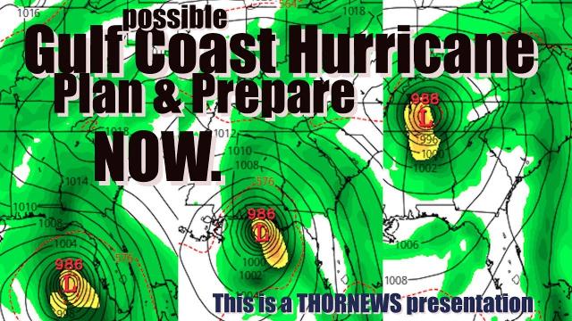
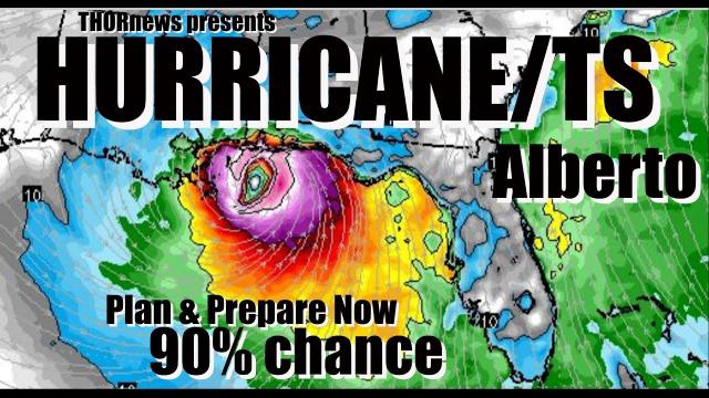
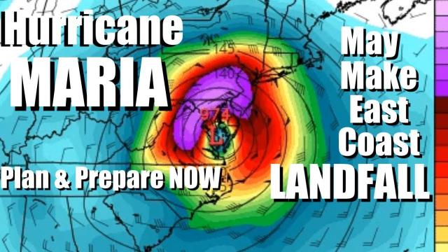
Plan & Prepare for Hurricane Alberto! Gulf Coast USA.
Description
Hurricane? Tropical Storm? Sub-Tropical Storm?
Plan & Prepare for Rain, Wind, Power Outages, Storm Surge, Flooding.
God bless everyone,
T
https://www.paypal.me/THORnews
THORNEWS
PO BOX 35946
HOUSTON TEXAS
77235-5946
crankywxguy blog
http://www.stormhamster.com/entry/e052618.htm
articles on storm
https://www.accuweather.com/en/weather-news/major-flood-risk-from-alberto-may-extend-beyond-memorial-day-in-southeastern-us/70005046
Major flood risk from Alberto may extend beyond Memorial Day in southeastern US
While newly formed Alberto is expected to target the upper Gulf Coast this holiday weekend, the risk for major flooding in the southeastern United States may extend beyond Memorial Day.
Alberto formed on Friday east of Mexico’s Yucatan Peninsula and will track northward through the Gulf of Mexico this holiday weekend, strengthening in the process.
Landfall is anticipated on the upper Gulf Coast, near or in between New Orleans and Tallahassee, Florida.
"We cannot rule out the possibility of Alberto becoming a hurricane before it makes landfall sometime on Monday or Monday evening," AccuWeather Hurricane Expert Dan Kottlowski said.
Even if Alberto fails to become a hurricane, flooding rain will remain the most widespread danger to lives and property across the Southeast. Dangerous seas, damaging winds, storm surge flooding and isolated tornadoes are among the other threats.
As the storm churns northward and strengthens, downpours will expand over the Southeast into Memorial Day.
Anyone spending Memorial Day in Orlando and Jacksonville, Florida; Atlanta and Savannah, Georgia; Columbia and Charleston, South Carolina; Charlotte and Raleigh, North Carolina; and Birmingham, Alabama; should remain vigilant for flooding downpours this holiday weekend.
The heaviest rain and greatest risk for flooding, however, may focus on communities from Tampa, Tallahassee and Pensacola, Florida, to Mobile, Alabama, and near New Orleans.
"The flood risk is not expected to end with Alberto making landfall on Memorial Day," AccuWeather Senior Meteorologist Brett Anderson said.
The risk for damaging winds will quickly lessen once the storm moves inland, but torrential rain may continue to be unleashed.
“A major threat to lives and property may unfold as the slow movement of Alberto can push rain totals to 10-20 inches in some communities,” according to Anderson.
If Alberto stalls for a time, more extreme rain totals can be unleashed. However, latest indications point to the storm steadily moving inland.
The excessive rain can lead to severe flooding that can put some homes in the hardest-hit areas under water, forcing residents to evacuate.
Streams and rivers can overflow their banks, further inundating neighboring land, roads and communities.
The flooding can close or damage roads and bridges, creating major travel disruptions. Air and rail travel may also be severely impacted.
As a result, there can be school closures and disruptions to daily routines.
The exact track of Alberto will determine which areas of the Southeast will face the most excessive rain totals and greatest risk for flooding. The latest indications suggest that Alberto will track over Mississippi and Alabama in the days after Memorial Day.
"There can also be another area of enhanced rainfall along the southern and southeastern slopes of the southern Appalachians," Kottlowski said.
All residents of the Southeast are encouraged to review flood preparation tips and evacuation plans, in the event orders are issued by authorities.
Despite the initial dangers to lives and property, the torrential rain will erase the abnormally dry conditions that remained across the upper Gulf Coast, according to the U.S. Drought Monitor's report on Thursday, May 24.
"There will be a sharp contrast in the weather on Alberto’s western side," Anderson said. "Winds will be much lighter west of the storm’s track, and drier air being pulled into the storm will keep these areas largely rain-free."