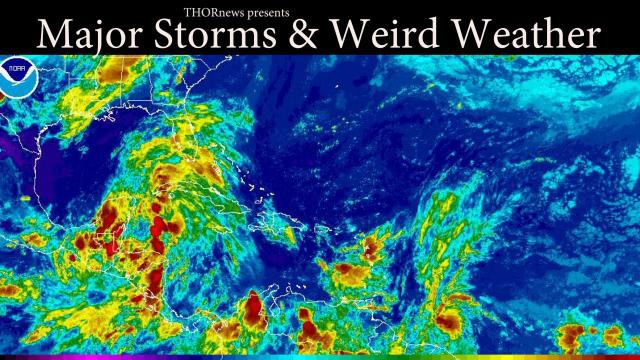
MAJOR STORM COMING TO THE EAST COAST AT HIGH TIDE March 3rd
Description
You have been warned.
all thanks to @crankywxguy on twitter
God bless everyone,
T
https://www.paypal.me/THORnews
https://www.patreon.com/thornews
@newTHOR on twitter
https://www.facebook.com/THORnewsthornews
THORNEWS PO BOX 35946
HOUSTON TEXAS
77235-5946
article on storms
https://www.accuweather.com/en/weather-news/soaking-rain-to-disrupt-travel-raise-flood-risk-in-northeastern-us-through-sunday/70004252
Soaking rain to disrupt travel, raise flood risk in northeastern US through Sunday
A storm sweeping through the northeastern United States will bring snow and ice to parts of New England as heavy rain elevates the risk of flooding farther south.
The return of mild conditions across the mid-Atlantic may have some residents itching to get outside, but they will not be able to do so without an umbrella and rain boots through Sunday.
“Despite the above-normal temperatures, it will be a damp and dreary weekend,” AccuWeather Long-Range Meteorologist Max Vido said.
Colder air in upstate New York and New England will allow for just enough snow and/or a wintry mix to create slick travel along portions of interstates 87, 89, 90, 91, 93 and 95 late Saturday night through Sunday.
Untreated bridges and overpasses will be the first surfaces to turn icy.
Temperatures in the Boston metro area are expected to be above the freezing mark at the onset of precipitation early Sunday morning, making for a mainly rain event in the city. However, areas to the north and west, such as Lowell and Worcester, Massachusetts, may receive a period of snow and ice prior to changing over to rain.
Maine, where the coldest air will hang on the longest, will have the greatest potential of receiving several inches of snow from the storm.
Residents farther south will not have to contend with wintry precipitation on the roadways, but travel delays may be encountered due to heavy rainfall.
Flooding can occur in the northern mid-Atlantic and parts of southeastern New England, according to Vido.
Stream and river water levels are high from recent rainfall across the Ohio Valley and central Appalachians. As a result, this corridor will face the greatest risk of flooding, mudslides and road washouts this weekend.
As runoff from this weekend’s rain flows downstream early next week, minor to moderate flooding is projected along the Ohio River from Pittsburgh to the Ohio/West Virginia border, according to National Weather Service hydrologists.
The rain will be more of a nuisance than a significant flood threat from Washington, D.C., to New York City.
Airline delays are possible along this corridor due to a low cloud ceiling.
Most of the central Appalachians, including Pittsburgh, will dry out by Sunday afternoon.
In the wake of the storm, gusty winds will whip across the Great Lakes to end the weekend. The winds can cause flight delays and hazards for high-profile vehicles. Localized damage may also result, especially in Buffalo, New York, and other areas downwind of the lakes.
Drier air will whisk away the dampness from the rest of the Northeast and bring the return of sunshine on Monday and Tuesday. It will remain quite mild with high temperatures in the 40s and 50s. Highs in the lower 60s will become more numerous across the southern mid-Atlantic for Tuesday.
The Northeast’s next opportunity for rainfall and perhaps even accumulating snow will arise later in the new week.
While the amount of cold air available and the track of the system remains in question, wintry weather will be possible in the North