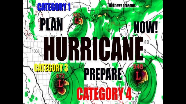
June 17th Landfalling Hurricane/Tropical Storm update: Plan & Prepare Now.
Description
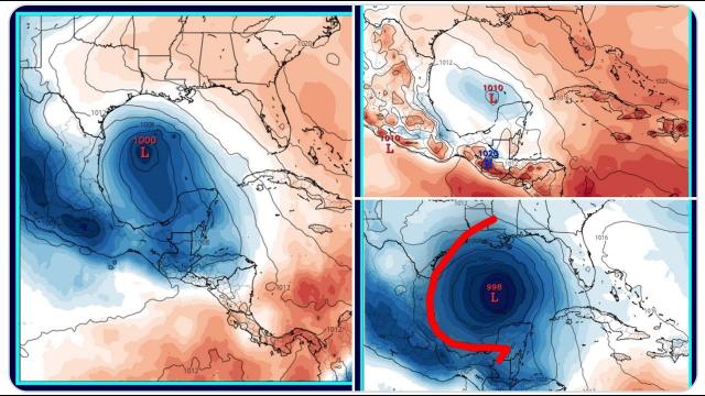
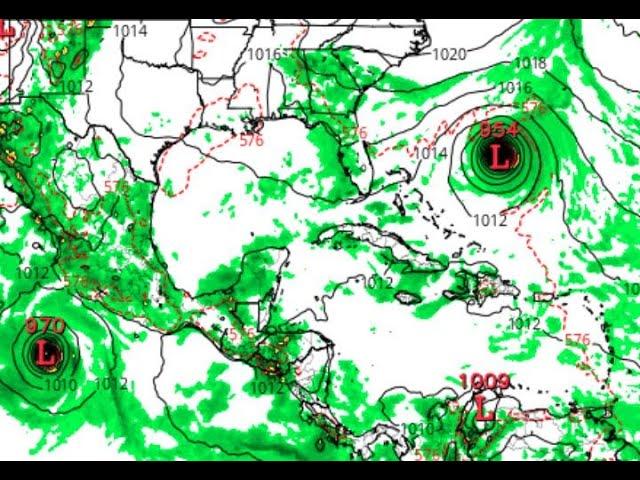
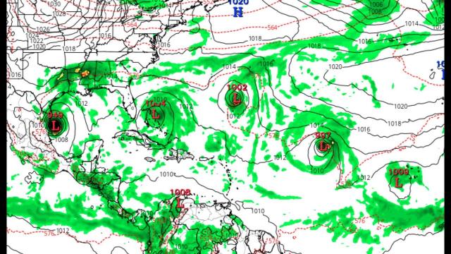
The CMC & GFS models are now both showing Tropical trouble around the 17th of June. We've got a week to watch & plan & prepare.
God bless everyone,
Stay Cool.
I love you,
your Planetary Defense Commander,
Starlord newTHOR7
https://www.paypal.me/THORnews
THORnews T-Shirts @
https://hitthebuttonbaby.com/
or send me letters & stuff!
THORNEWS
PO BOX 35946
HOUSTON TEXAS
77235-5946
@Crankywxguy on twitter
CrankyWXguy Blog (Recommended for ALL always)
http://www.stormhamster.com/entry/e060818b.htm
the Wave Master @Dadabuh on twitter
https://dabuh.com/
Brooks Garner @BrooksKHOU on twitter
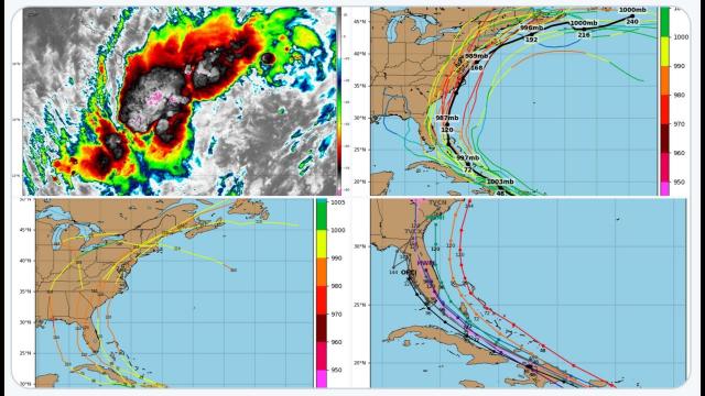
https://www.accuweather.com/en/weather-news/western-caribbean-gulf-of-mexico-on-alert-for-possible-tropical-storm-late-next-week/70005178
Western Caribbean, Gulf of Mexico on alert for possible tropical storm late next week
A tropical low could strengthen into the second named storm of the 2018 Atlantic Basin tropical season late next week.
All eyes will be on the western Caribbean next week, an area that looks to have the right conditions for a new tropical system to brew.
"A tropical low is expected to develop north of the Nicaraguan coast around midweek," said AccuWeather Meteorologist Brett Rossio.
As the week progresses, the system looks to lift northward through the western Caribbean Sea, and eventually could reach the Gulf of Mexico. Depending on the exact conditions at the time, this low could become the next tropical depression or tropical storm in the Atlantic Basin.
"Water temperatures in both the Caribbean and the Gulf are more than sufficient for tropical development and possible strengthening," added Rossio.
If the system reaches tropical storm strength, it will be given the name Beryl.
However, the atmospheric conditions across the Western Caribbean Sea and the Gulf of Mexico next week are not that simple.
Some pockets of wind shear, as well as drier air in the western Gulf of Mexico, could inhibit any rapid intensification or organization of the system as it moves northward.
Regardless of development, the tropical moisture from this low could bring flooding rain to the Yucatan peninsula as well as western Cuba.
If the system continues on the northward trajectory, it could send periods of heavy rain into the United States late next week.
Areas of the Florida Peninsula and Alabama could again see bouts of heavy rain, following the heavy rain from Alberto in late May. These areas might be even more susceptible to flash flooding this time, given the already-saturated ground.
However, the track of this tropical low at this stage is far from set in stone.
AccuWeather will continue to monitor the Caribbean and Gulf of Mexico for signs of tropical development throughout the Atlantic Basin tropical season.
Via CrankyWXguy
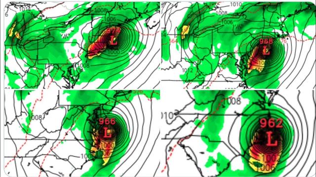
"If it turns left, hurricane, if it goes straight north mid TS to maybe borderline Cat 1 (but the kind where one stupid thudnershower has 75mph and the rest is 60mph), if it bends east then disorganized trash. Watch the upper level low in the northern Gulf of Mexico....that's the entire key. System will track up the eastern flank of it. If it dips south west, then track north and turn west w/storm. Etc."