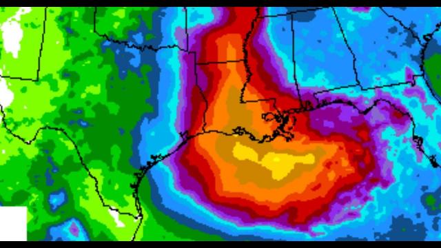
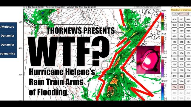
Hurricane Florence is a week long catastrophic event that will hit multiple states.
Description
+ the potential for nuclear problems.
God bless everyone, T
https://www.paypal.me/THORnews
Tshirts
https://hitthebuttonbaby.com/
THORNEWS
PO BOX 35946
HOUSTON TEXAS
77235-5946
the crankywxguy blog
http://www.stormhamster.com/entry/e091418.htm
the wave master
https://dabuh.com/
https://weather.com/storms/hurricane/news/2018-09-14-hurricane-florence-forecast-north-carolina-south-carolina-southeast
Hurricane Florence's Eyewall Reaching North Carolina Coast, Landfall Imminent; Catastrophic Flash Flooding to Hammer the Carolinas, Appalachia
Florence is expected to crawl near or along the coast of the Carolinas through Friday.
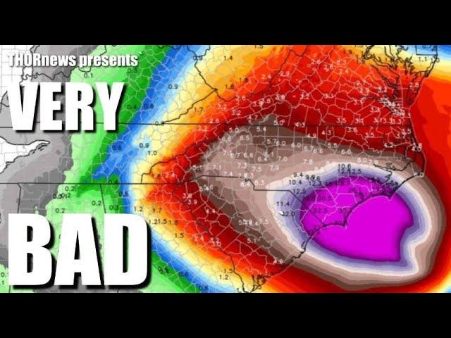
This will produce catastrophic flash flooding and major river flooding.
Life-threatening storm surge is likely occurring in eastern North Carolina.
Hurricane-force winds are occurring in eastern North Carolina.
Hurricane and storm surge warnings have been issued.
Florence's remnant will linger in parts of the East into early next week.
Hurricane Florence is about to make landfall in North Carolina and continues to spread heavy rain and strong winds into the Carolinas, before kicking off an agonizing crawl through the Southeast into early next week, producing catastrophic inland rainfall flooding, life-threatening storm surge and destructive winds.
Happening Now
The eyewall, the worst part of Florence, is onshore in southeastern North Carolina and is only the beginning of what could be a record-wet siege from a tropical cyclone in parts of the Tar Heel State.
The eyewall will move extremely slowly across the North Carolina coast through early Friday morning bringing extreme wind gusts and very heavy rainfall.
As of 6 a.m. EDT, Florence's calm eye was located about 10 miles east of Wilmington, North Carolina, crawling westward at just 6 mph.
Extreme rainfall is already occurring in eastern North Carolina.
Around 20 inches of rainfall has already been received in North Carolina according to two USGS observation stations, located in Atlantic Beach and on Emerald Isle.
Water levels remain elevated in Pamlico Sound in North Carolina and a gauge in Emerald Isle recently recorded a 7.0-foot surge. A 10.1-foot storm surge was recorded very early Friday in New Bern.
Hurricane-force winds (74-plus mph) extend outward up to 80 miles from the center, and tropical-storm-force winds (39-plus mph) extend outward up to 195 miles from the center.
A hurricane warning and storm surge warning are in effect from the South Santee River, South Carolina, to Duck, North Carolina, including the Albemarle and Pamlico sounds. These warnings include Myrtle Beach, South Carolina, Wilmington, North Carolina, and most of the Outer Banks.
Hurricane warnings also extend inland, including North Carolina cities such as Greenville, Goldsboro and Kinston.
Hurricane watches and storm surge watches are in effect from Edisto Beach, South Carolina, northward to the South Santee River, South Carolina. This includes Charleston, South Carolina.
Tropical storm warnings are in effect north of Duck, North Carolina, to Cape Charles Lighthouse, Virginia, as well as for the Chesapeake Bay south of New Point Comfort, Virginia, and from Edisto Beach, South Carolina, northward to the South Santee River, South Carolina. This includes Virginia Beach, Norfolk, Virginia, and Charleston, South Carolina.