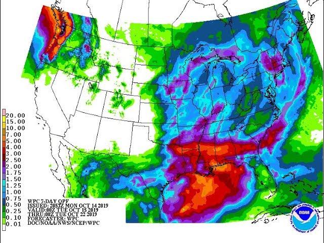
7 day Storm to hit Texas & the South & East & Northeast + nothing but Trouble this past week
Description
https://www.paypal.me/THORnews
T
THORNEWS PO BOX 35946
HOUSTON TEXAS
https://www.patreon.com/thornews
@newTHOR on twitter
https://www.facebook.com/THORnewsgo
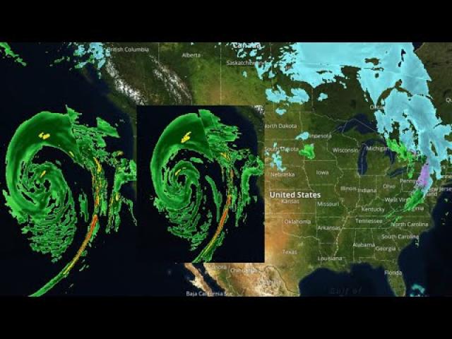
We had 68 Tornadoes last week & this week we've got another weird storm on the way. This one is weird. So be prepared for it to have some major changes.
God bless everyone,
T
articles on the situation
https://www.accuweather.com/en/weather-news/locally-strong-storms-to-eye-southern-us-into-monday/70004751
Locally strong storms to eye southern US into Monday
The threat for heavy and locally strong thunderstorms will slowly shift eastward across the southern United States into Monday.
While a severe weather event with the magnitude of the April 13-15 outbreak is not in store, residents across the region should remain weather aware as they go about their day.
Outdoor activities, including events for Earth Day, may need to be moved inside or postponed due to the wet conditions and the threat of lightning.
On Saturday afternoon, east-central Texas will become the focal point for feisty storms, including the cities of Abilene and Dallas-Fort Worth.
The tornado risk will be low; a greater number of storms are likely to produce locally damaging winds, hail and heavy rainfall.
During Saturday night, the threat for storms that can produce flooding in low-lying and urban areas will increase, while the severe risk diminishes.
Residents in Houston and Tyler, Texas; Little Rock, Arkansas; and Shreveport and Alexandria, Louisiana, may be kept up or awoken by downpours and rumbles of thunder on Saturday night.
The stormy conditions will march along the Gulf Coast states as the weekend comes to a close.
A large portion of eastern Louisiana, Mississippi, Alabama and the Florida Panhandle could experience heavy storms capable of triggering localized damage, hail and even a couple of tornadoes.
As soon as thunder is heard, head indoors to avoid the risk of being struck by lightning.
Through the weekend, the storms will lead to poor driving conditions on interstates 10, 20, 40, 55, 65, 75 and 85. Reduced visibility and ponding of water on the roads may slow travel.
Low-lying and poor drainage areas could be flooded due to the amount of rain that falls in a short duration.
"During Monday, the potential for heavy, gusty to locally severe thunderstorms will focus on Florida, especially the Florida Peninsula," Sosnowski said.
A few heavier storms could extend into a portion of southeastern Georgia and far southern South Carolina.
Those with commutes along I-95 from Florence, South Carolina, to Florida's Space Coast should anticipate downpours that reduce visibility and slow travel.
A general soaking rain is expected to fall to the north of the areas at risk for locally strong storms from Sunday through Monday.