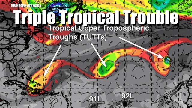
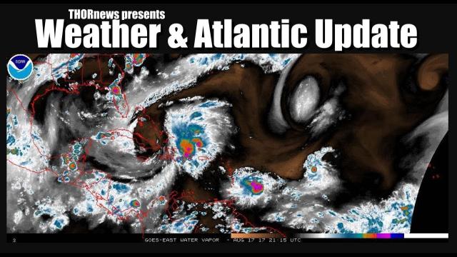
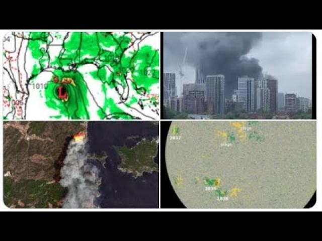
The Pacific & Atlantic is ACTIVE. Floods & Fires will continue to plague USA.
Description
It's getting wild out there. Pay attention & Have fun this weekend.
God bless everyone,
T
https://www.paypal.me/THORnews
Tshirts
https://hitthebuttonbaby.com/
THORNEWS
PO BOX 35946
HOUSTON TEXAS
77235-5946
the crankywxguy blog
http://www.stormhamster.com/entry/e081618.htm
the wave master
https://dabuh.com/
http://www.hawaiinewsnow.com/story/38890702/tropical-storm-lane-forms-in-east-pacific
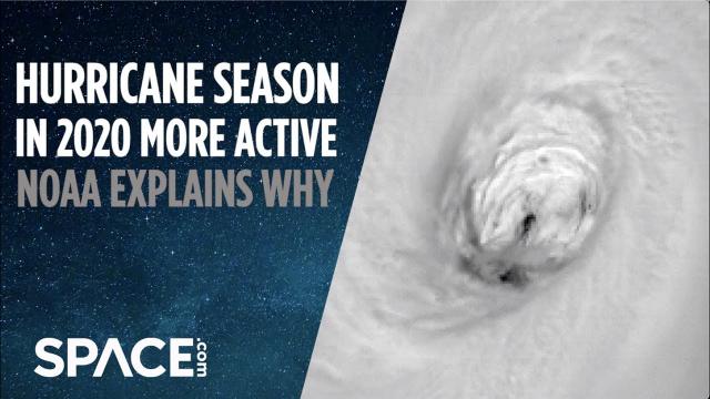
Tropical Storm Lane expected to strengthen to a hurricane soon
Tropical Storm Lane continues to strengthen and is expected to be a major hurricane when it crosses into the Central Pacific on Saturday, the National Hurricane Center said.
At about 11 p.m. Wednesday, Lane was located located about 1,390 miles southwest of the southern tip of Baja California, Mexico, or a distant 2,100 miles away from Hilo.
It was moving west at about 12 mph and had maximum sustained winds near 50 mph.
Lane is expected to strengthen into a hurricane Thursday and could become a major hurricane on Saturday, forecasters say.
Debby and Ernesto formed in the northern Atlantic Ocean during the first half of August.
Above-average sea-surface temperatures aided in their development so far north.
Atmosphere and ocean conditions may favor more north Atlantic storms while the tropical Atlantic stays less active.
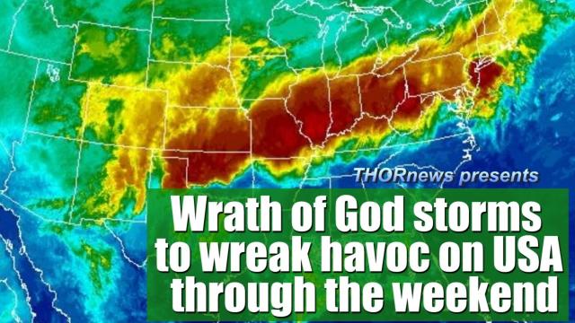
Flooding downpours to pivot across Mississippi, Ohio and Tennessee valleys into weekend
An area of downpours with a history of flash flooding will shift eastward to end this week then settle southward this weekend over the central United States.
The batch of rain may be welcomed in some communities but may cause problems for travel and outdoor plans.
During Thursday, Thursday night and Friday, torrential downpours and a few locally gusty storms will advance eastward across the Ohio Valley and lower Great Lakes region.
Motorists should expect travel delays along Interstates 40, 64, 65, 70, 75, 77 and 80.
In most areas, significant forward speed of the storms should keep downpours brief in most areas. However, it is possible the storms may repeat in some communities. Where this happens, the risk of flooding will be greatest.
Cities that may be affected by downpours and travel delays spanning Thursday to Friday include Indianapolis, Evansville and Fort Wayne, Indiana; Cincinnati, Columbus, Cleveland, Youngstown and Toledo, Ohio; Louisville and Lexington, Kentucky; Morgantown, West Virginia; Detroit, Nashville and Pittsburgh.
During this weekend, just enough dry air is forecast to punch in to keep storms at bay over much of central and northern Illinois, Indiana and Ohio, as well as much of Michigan.
However, farther south, across the lower part of the Ohio Valley, Tennessee Valley and southern Appalachians, dry air will struggle to move in. Through at least Saturday, downpours are likely to linger, repeat and potentially cause flash flooding in these areas.
There is a chance that enough dry air mixes in on Sunday to turn off showers or at least cause them to be much more spotty with the exception of the lower Mississippi Valley and Delta.
Farther west on Sunday, a new batch of showers and thunderstorms is forecast to move eastward across the Plains and increase in intensity.