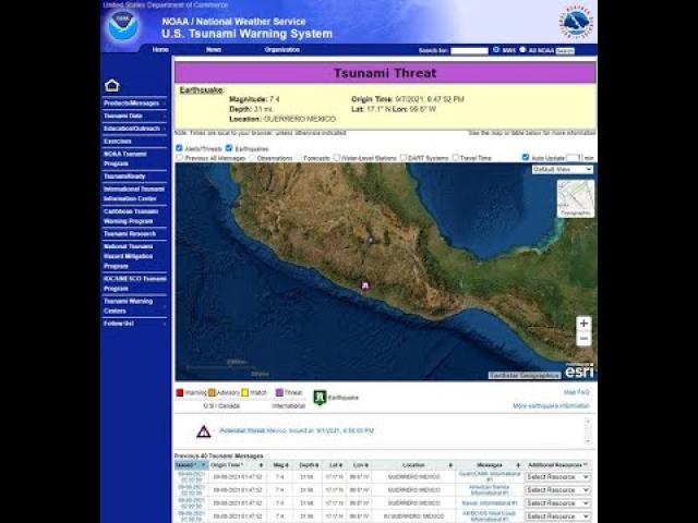
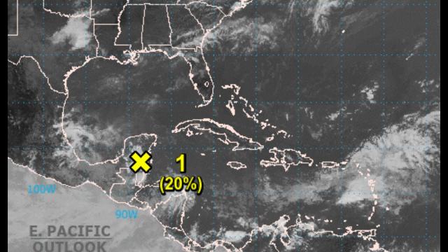
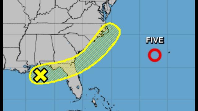
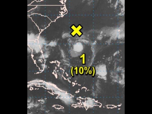
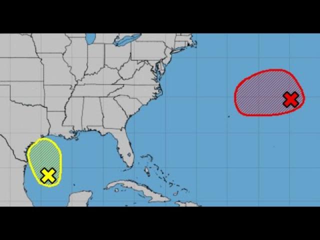
NE Bombogenesis Nor'Easter is underway & Gulf of Mexico Invest 96L has 50% chance of Development
Description
The NE storm is nasty & I doubled checked the Wind Shear & it seems pretty high for our GOM storm. Which is good news.
God bless everyone,
T LEWISON
5430 BIRDWOOD RD. #416
HOUSTON TEXAS 77096
HTTPS://WWW.PAYPAL.ME/THORNEWS
www.venmo.com/TEric-Lewison
$THORnews on CashApp
https://www.patreon.com/thornews
check out the CrankyWxGuy blog
http://www.stormhamster.com/entry2/e101519.htm
video
https://weather.com/forecast/regional/news/2019-10-15-northeast-coastal-storm-rain-wind-forecast
Northeast Coastal Storm to Bring Heavy Rain, Strong Winds From the Mid-Atlantic to New England
Low pressure will intensify along the East Coast into Thursday.
Rain will soak the Northeast, and could lead to flash flooding.
Strong winds will blow through much of the Northeast later Wednesday through Thursday.
Stronger wind gusts in coastal New England could lead to some power outages, downed tree limbs.
A Northeast coastal storm will unleash a combination of soaking rain and strong winds through Thursday from the mid-Atlantic states to New England.
A sharpening plunge of the jet stream will drive a cold front and low-pressure system from the Great Lakes toward the East Coast.
This strong jet stream will then induce a second area of low pressure to form near the East Coast and intensify as it moves toward New England Wednesday night and Thursday.
This second low could intensify fast enough to undergo bombogenesis, a term meteorologists use to classify surface lows whose pressure drops by at least least 24 millibars in 24 hours or less.
What all of this means is that the Northeast will see wet and windy conditions through Thursday.
High wind warnings are in effect late Wednesday into Thursday for coastal areas of Maine, New Hampshire and eastern Massachusetts (excluding Boston Harbor). Winds gusting as high as 60 mph in these areas could bring down trees, tree limbs and power lines in these areas, possibly knocking out power.
Forecast Timing
Wednesday Evening
Rain is spreading from the eastern Great Lakes, Ohio Valley and Appalachians into the mid-Atlantic states, Hudson Valley and southern New England.
Winds and rain coverage will increase throughout New England this evening.
This rain has caused Game 4 of baseball's American League Championship Series in the Bronx between the Houston Astros and New York Yankees to be postponed until Thursday. The game was originally scheduled for Wednesday evening. Game 5 was also pushed to Friday.
Wednesday night, as the low intensifies, strong winds are most likely along the coast of New England and eastern Long Island, but are also expected from the Appalachians into the Interstate 95 corridor from the New York City Tri-State to Virginia.
Rain should eventually end in most areas from New York City south overnight, except some wrap-around rain showers are expected from parts of the eastern Great Lakes to the mountains of West Virginia.
Thursday
Rain will continue Thursday from New York state and parts of Pennsylvania into New England as the strong low-pressure center heads toward Maine.
The most soaking rain Thursday will be in upstate New York and northern New England. Precipitation will slowly diminish in these areas Thursday night. Some wet snow may dust the peaks of the Adirondacks, Green and White Mountains, but little snow will fall elsewhere.
Gusty winds will linger through much of the Northeast Thursday, with the strongest winds in northern New England early.
Forecast Rain, Wind Impacts
This will not be a long-lasting system, but the combination of rain and wind will have some impacts.
Rainfall totals of 1 to 3 inches are forecast from the eastern mid-Atlantic to much of New England. Parts of the Hudson Valley and New England could see up to 5 inches of rain. Localized flooding is possible in urban and poor drainage locations.
Winds could gust 30 to 40 mph at times Wednesday night through Thursday in much of the rest of the Northeast, particularly over higher elevations.
The strongest winds Wednesday night into early Thursday are expected in southeast New England, including Nantucket, Martha's Vineyard and Cape Cod, where some gusts over 60 mph are possible. Sustained winds over 30 mph are expected.
Early in the day Thursday, those 50+ mph gusts could spread northward along the coast into Downeast and northern Maine.
These winds could break tree limbs, uproot some trees, and trigger power outages.
The rain and wind will also strip away some fall foliage in parts of New England. Portions of New England are currently experiencing peak fall color.
Coastal flooding is also likely on east- and southeast-facing shorelines.
Coastal flood warnings have been issued for parts of coastal Connecticut and New York where water levels could rise a couple of feet late Wednesday evening into early Thursday.
This storm may be strong enough to produce record-low surface barometric pressures for October. Some computer models predict that t


Comments