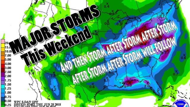
Maximum Grand Solar Minimum & the Endless parade of Severe Storms of May USA
Description
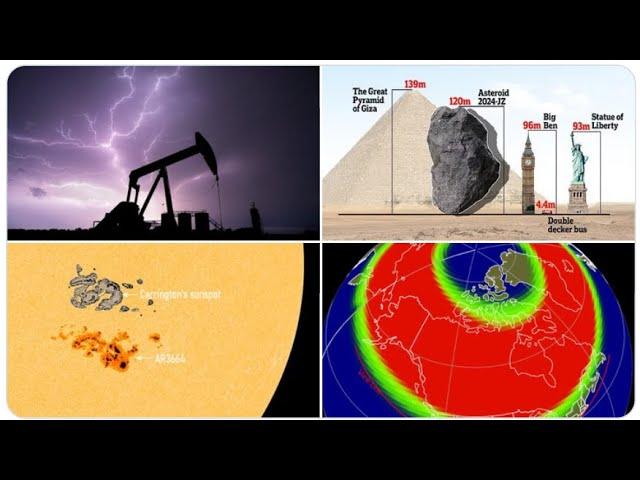
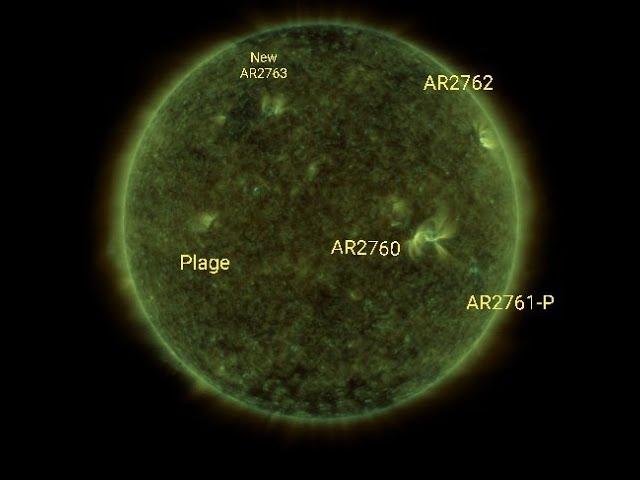
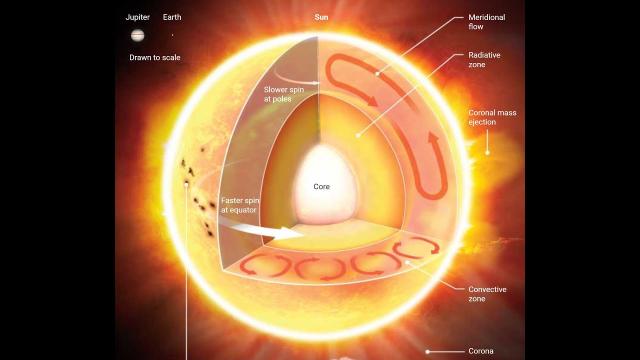
Mayday 17. The Earth has seen 3 solar storms in a row & now we've got a non stop series of storms from coast to coast from here until Atlantic Hurricane Season begins. Buckle up, buttercup. We are going for a wild ride into the future!
God bless everyone,
T
THORnews survives and thrives on your prayers,
good thoughts, defense and support
send love, letters and contributions to
5430 Birdwood Rd. 416
Houston, Texas
77096
video on storm onslaught
https://weather.com/storms/severe/news/2019-05-14-severe-weather-forecast-plains-tornadoes-hail-winds-flooding
Multi-Day Siege of Severe Storms to Hit Plains and Midwest With Tornadoes, Hail, Damaging Winds, Flooding
A multi-day siege of severe weather will flare up in the Plains and Midwest into the weekend.
Another round of severe weather will then follow in the Plains Monday and Tuesday.
Tornadoes, large hail and damaging winds are all threats.
Flash flooding is also a significant concern.
Rounds of severe thunderstorms with tornadoes, large hail, damaging winds and flooding rain will erupt in the Plains and Midwest Friday into the weekend, then again Monday into Tuesday.
A pair of energetic weather systems will ride a powerhouse jet stream into the Plains and Midwest this weekend into early next week where they will intercept moisture returning north from the Gulf of Mexico. Supercells and long lines of severe thunderstorms known as squall lines are both possible, at times.
NOAA's Storm Prediction Center has issued the following severe weather watches:
A Severe Thunderstorm Watch valid until 8 p.m. MDT for northeastern Colorado, southwestern Nebraska and southeastern Wyoming. This watch area includes Cheyenne, Wyoming and Scottsbluff, Nebraska.
The atmosphere is beginning to destabilize in parts of central Nebraska and northwestern Kansas. Severe thunderstorms may begin to develop in this area over the next few hours. Large hail, tornadoes and damaging winds are possible.
Storms will gradually move eastward into Nebraska through the afternoon.
Another area of scattered severe thunderstorms with large hail and damaging winds are possible in the afternoon from parts of eastern Indiana and central Ohio into West Virginia and Virginia.
Severe Weather Forecast
Tonight
Severe thunderstorms will be most numerous tonight in the parts of the upper Midwest and Plains from South Dakota, Nebraska, southwest Minnesota and northwest Iowa with large hail, flooding rain, damaging winds, and some tornadoes, especially with any supercell thunderstorms in the early evening.
A second cluster of severe thunderstorms is expected to develop overnight in west-central Texas and slide east in the pre-dawn hours early Saturday morning with damaging straight-line winds, flooding rain and perhaps a few tornadoes.
Saturday
A cluster of strong to severe thunderstorms is expected to be ongoing Saturday morning in parts of north and central Texas into Oklahoma, with damaging winds, flooding rain, and possibly a few tornadoes.
Severe thunderstorms are possible Saturday from parts of the upper Midwest to parts of Texas, Arkansas and Louisiana, with tornadoes, damaging winds, hail and flooding rainfall.
A second area of severe thunderstorms should flare up in the afternoon farther west in parts of western Oklahoma and develop into a second rash of severe storms into the evening and overnight into Kansas, Missouri and Arkansas with large hail, damaging winds and locally flooding rainfall.
Sunday
At least some severe thunderstorms are possible from parts of the Mississippi Valley, Ohio Valley into the Great Lakes as the weekend comes to a close.
Damaging winds are the primary threat from any storms that turn severe, although an isolated tornado cannot be ruled out.
A few strong to severe thunderstorms may flare up in parts of West Texas Sunday night with large hail and locally heavy rain.
Monday
By early next week, the atmosphere will reload and another round of jet-stream energy will swing into the Plains, triggering the development of more widespread severe weather.
Severe storms are most likely Monday in the Plains from northern Texas into Oklahoma, but may also extend into parts of Kansas.
Tornadoes, large hail, damaging winds and flash flooding seem most likely in this area Monday.
Tuesday
By Tuesday, a strong area of low pressure should be in place over the central Plains.
This will push the severe threat ahead of a cold front into parts of Iowa, Missouri and Illinois to Arkansas, eastern Oklahoma and eastern Texas.
Damaging thunderstorm winds, hail, some tornadoes and flooding rain are possible in these areas Tuesday.
Flash Flood Threat
Repeated rounds of heavy rain over the past week or so triggered significant flooding in parts of Kansas, Oklahoma, Texas, Louisiana and Mississippi, including cities such as Houston; Baton Rouge, Louisiana; and Jackson, Mississippi, among others.
It was the wettest first 12 days of May on record in Dodge City,