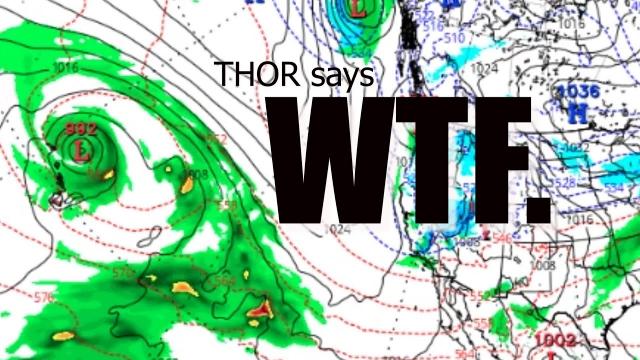
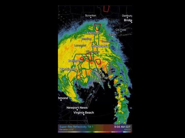
MAJOR STORM to wreak havoc in USA & CANADA Friday-Tuesday
Description
https://www.paypal.me/THORnews
THORNEWS PO BOX 35946
HOUSTON TEXAS
https://www.patreon.com/thornews
@newTHOR on twitter
https://www.facebook.com/THORnewsthornews
This Storm will be trouble over already troubled areas.
God bless everyone,
T
articles on storm
https://www.accuweather.com/en/weather-news/storm-to-unleash-severe-weather-disruptive-snow-over-central-us-late-this-week/70004635
Storm to unleash severe weather, disruptive snow over central US late this week
A multi-faceted storm will slam the central United States late this week with possible blizzard conditions to the north and severe thunderstorms to the south.
The same system will also be responsible for a surge of heat and wind over the Southwest and south-central U.S. that will elevate the risk of wildfires.
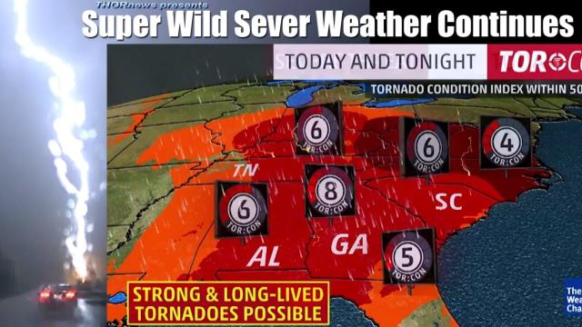
Severe storms may threaten 1,000-mile-long swath of central US
Warm, moist air from the Gulf of Mexico will be pulled northward across the nation’s midsection ahead of the storm.
Along the line dividing the warmth with an advancing push of cooler air, thunderstorms will erupt late Friday.
“The best potential for severe weather Friday will be eastern portions of the southern Plains through western portions of the middle and lower Mississippi Valley,” said AccuWeather Storm Warning Meteorologist Kayla St. Germain.
Depending on the exact track and timing of the storm, severe weather may be possible as far north as Iowa and southern Minnesota.
St. Germain expects damaging winds and large hail to be the primary threats from these storms. However, she cannot rule out a few tornadoes.
Downpours from the storms may overwhelm storm drains and lead to street flooding, while frequent lightning will endanger anyone caught outdoors.
During Saturday, the risk for severe weather may shift eastward and threaten outdoor plans from a portion of the Ohio Valley to the Gulf Coast.
Snow, wind may trigger localized blizzard conditions in northern Plains
A rebound in temperatures ahead of the storm should not have residents of the northern Plains and Upper Midwest putting away the snow boots and shovels just yet.
Following a swath of snow that will sweep across the upper Great Lakes Wednesday into Thursday, the next storm could bring a late-season blizzard to the northern Plains, according to AccuWeather Senior Meteorologist Kristina Pydynowski.
Plummeting temperatures will lay the groundwork for a swath of snow to set up on the storm’s northwestern flank.
“It will look more like February than April in the northern Plains,” said AccuWeather Lead Long-Range Meteorologist Paul Pastelok.
Enough snow to shovel and plow may fall from the Dakotas and Nebraska through a portion of Minnesota, Wisconsin and the upper peninsula of Michigan from Friday into the weekend. Snowfall may top a foot in part of this swath.
In some areas, rain or a wintry mix will precede the snow.
There is the potential for a prolonged period of sleet and/or freezing rain across the upper Great Lakes and into southeastern Canada with the storm.
People with plans to travel along interstates 29, 35, 90 and 94 during the late week and weekend should anticipate delays, reduced visibility from blowing snow, slick and snow-covered roads and possible closures.
Flight delays and cancellations are likely to mount across the region, including at Minneapolis-St.Paul International Airport.
Residents of and travelers through the areas at risk for snow and severe weather should continue to check back with AccuWeather for updates over the coming days.