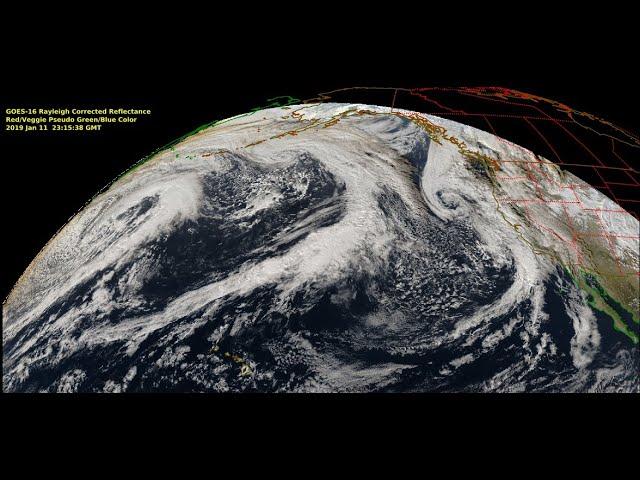
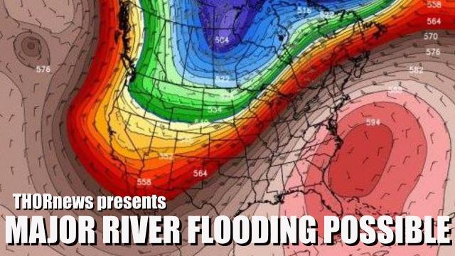
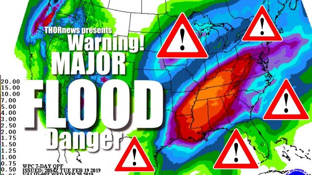
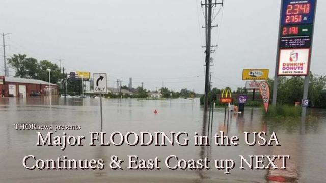
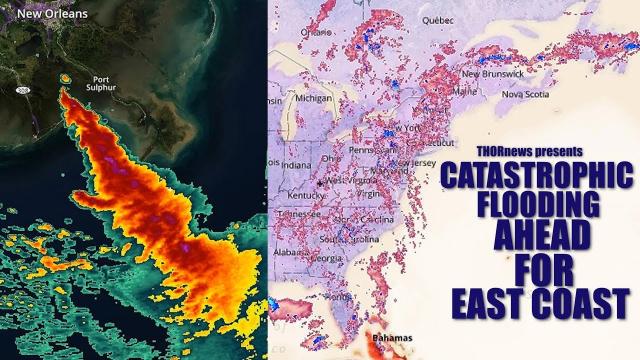
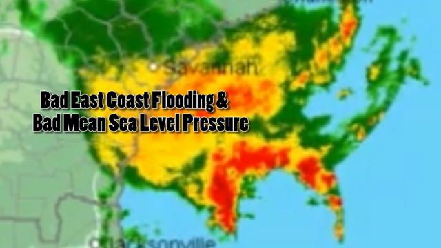
Catastrophic Flooding possible for large areas of the East Coast
Description
24 Hours away from the Partial Solar Eclipse & the Weather situation & Atmospheric condition is already ramping up the surprises and intensifications. July was the wettest July ever for some places in the East Coast & there is a lot more rain on the way over the next 8 days.
Stay aware. Don't be scared. Be prepared. Have a plan.
We are all in this together.
God bless everyone,
T
https://www.paypal.me/THORnews
Tshirts
https://hitthebuttonbaby.com/
THORNEWS
PO BOX 35946
HOUSTON TEXAS
77235-5946
the crankywxguy blog
http://www.stormhamster.com/entry/e081218.htm
the wave master
https://dabuh.com/
https://www.accuweather.com/en/weather-news/risk-of-flooding-downpours-to-return-to-northeastern-us-through-early-this-week/70005743
Risk of flooding downpours to return to northeastern US through early this week
Drenching showers and thunderstorms will bring the risk of flash flooding to the central Appalachians and parts of the mid-Atlantic into early this week, while the heaviest rain may focus on parts of New England.
Have the umbrellas and raincoats handy again. There is the potential for the wettest swath in the Northeast to receive 5 inches of rain with locally higher amounts before the pattern breaks up.
Whether 5 inches of rain falls in as many days or an inch of rain falls in an hour, enough rain is expected to fall to lead to rising streams and possible urban and small stream flooding.
Repeating storms wasted no time in hammering parts of Ohio and southwestern Pennsylvania. More than 3 inches of rain fell on some of the suburbs of Pittsburgh in several hours on Friday afternoon.
On Saturday, two batches of heavy rain brought just shy of three inches of rain to New York City.
"The greatest risk of flash flooding will be during, but not limited to, the daytime and early evening hours," according to AccuWeather Lead Long-Range Meteorologist Paul Pastelok.
The swath of heaviest rain is likely to extend from parts of eastern Pennsylvania and New Jersey through the Hudson Valley, and into much of southern New England.
A second pocket of heavy rainfall may extend from southeastern Virginia to the coastal areas of the Carolinas into Tuesday.
The setup is likely to have more success at bringing downpours to the mid-Atlantic and southern New England beaches when compared to July. People heading to the beach for a last summer getaway before school starts may have to dodge some showers.
Areas most likely to escape the most persistent rainfall are from central and northern Maine to northern New York state and Michigan as well as portions of Ohio.
However, most locations in the Northeast, even those outside of the most persistent rainfall, will still run the risk of a downpour that could lead to isolated urban flooding.
A number of locations experienced their wettest July on record in the mid-Atlantic states including Harrisburg, State College and Williamsport, Pennsylvania; Baltimore and Washington, D.C.
East West North South
Both Hartford, Connecticut, and New York City have received close to 10 inches of rain since early July. This rainfall is 150 to 200 percent of normal.
Many communities across the central United States enduring drought conditions will receive much-needed rain this coming week, though flooding may become a concern.
"A rainy pattern looks to set up across the middle Mississippi Valley into the Ohio Valley this coming week into next weekend," AccuWeather Storm Warning Meteorologist Joseph Bauer said.
"For drought-ridden areas in Missouri, this rain should come as a welcome relief to an overall dry summer so far," he said.
In Kansas City, only 13 percent of August's normal rainfall has arrived so far. In nearby St. Joseph, only 6 percent of the normal monthly rainfall has occurred.
The cities most at risk for this flooding include Dallas, San Angelo, Abilene, Waco, Odessa, San Antonio, Austin and Longview, Texas, and Oklahoma City.
On Monday, the heaviest rain will slowly shift northward, spreading the more persistent downpours into parts of western Missouri and Kansas as well. Cities like Springfield, Missouri as well as Tulsa, Oklahoma and Wichita, Kansas will see a noticeable surge in moisture.
Where the downpours linger and repeat, the risk of flash flooding will be greatest. Normally dry stream beds in the summer can become raging torrents with no notice in parts of Texas. Small streams can quickly overflow their banks.