August will bring the worst of Disasters of the year so Far. Be Ready.
Description
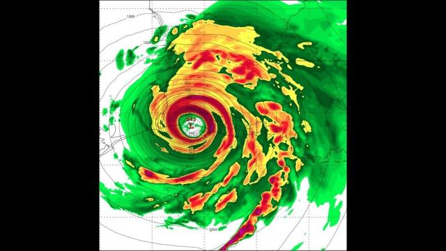
We've got 17 Wildfires in California. We've got Wildfires across the West. July shattered rain records along the East Coast. August is the hottest month of the year and the time when the Atlantic heats up with tropical activity. August & September are our Main Hurricane months. It's pretty clear this month will be the most challenging month of the year we've faced. Have a plan. Be prepared and stay aware. God bless everyone, T
https://www.paypal.me/THORnews
Tshirts
https://hitthebuttonbaby.com/
THORNEWS
PO BOX 35946
HOUSTON TEXAS
77235-5946
the crankywxguy blog
http://www.stormhamster.com/entry/e073118.htm
the wave master
https://dabuh.com/
the storm
https://weather.com/forecast/national/news/2018-07-26-unusual-midsummer-weather-pattern-wet-east
More Flooding Possible in the East This Week as Unusual Midsummer Weather Pattern Returns
Jet Stream Plunge Pumping Heavy Rain on East, South
More heavy rain and flooding are ahead in parts of the East as the weather pattern takes on an unusual configuration for mid-summer.
At a Glance
An unusually deep southward plunge of the jet stream for midsummer will set up east of the Rockies this week.
This could contribute to more heavy rainfall in the South and East.
Localized flooding is possible, particularly in areas soaked by a similar weather pattern last week.
More heavy rain and flooding are ahead in parts of the East as the weather pattern takes on an unusual configuration for midsummer.
A sizable lobe of energy riding through the jet stream is causing it to become amplified in a north-to-south fashion east of the Rockies early this week. In the summertime, the jet stream usually flows in a flatter west-to-east pattern near the Canadian border, so that's why this jet stream pattern is unusual.
A pronounced southward dip in the jet stream will set up east of the Rockies early this week and interact with plentiful moisture (orange and red shadings). This could lead to more heavy rainfall.
In tandem with blocking high pressure in the western Atlantic Ocean, this jet stream setup will help draw moisture from the Gulf of Mexico and the Atlantic into the South and East.
This means stormy conditions are likely from the Deep South into the Ohio Valley and parts of the East much of this week, and this could cause localized flooding.
Although a large number of states could see pockets of locally heavy rain throughout this week, there is uncertainty when it comes to pinpointing locations with a heightened flood threat each day.
Forecast guidance is indicating a swath from the northern Gulf Coast to the Appalachians and parts of the Northeast may see heavy rainfall through late-week.
This week's weather pattern is somewhat similar to the one that fueled severe thunderstorms and heavy rainfall in portions of the South and East last week.
A swath from the Southeast coast to the mid-Atlantic was soaked by heavy rainfall. Parts of central Pennsylvania were particularly hard-hit by flooding.
The downpours helped vault Baltimore (16.72 inches) and Harrisburg, Pennsylvania (12.09 inches), to their wettest Julys on record. Dunkirk, Maryland, received 16.55 inches of rain in about five days (July 21-25).
Given the mid-Atlantic is saturated, it will be vulnerable to flooding again should any of the heavier rainfall affect that region this week. Of course, there could be new areas that have a growing flood threat, as well.
Another aspect of this week's weather pattern is that temperatures will stay relatively comfortable for this time of year in the Plains, Midwest and into the South.