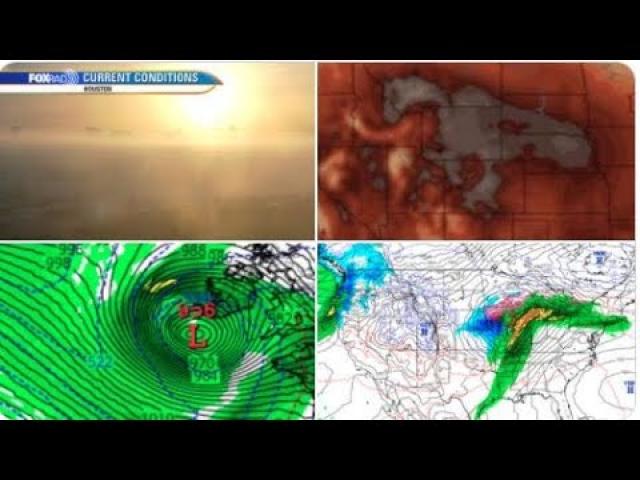
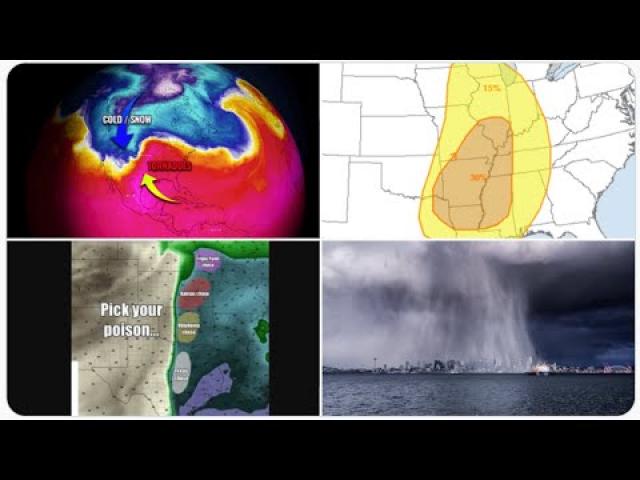
Alert! Major Storms to do Damage to the USA over next Week.
Description
Activity is really picking up.
God bless everyone,
T
https://www.paypal.me/THORnews
@newTHOR on twitter
https://www.facebook.com/thornewsgo
Tshirts
https://hitthebuttonbaby.com/
the crankywxguy blog
http://www.stormhamster.com/entry/e030419.htm
mike's weather page
http://www.spaghettimodels.com/
models
https://www.tropicaltidbits.com/analysis/models/
a look at the Sun
https://sdo.gsfc.nasa.gov/data/
https://www.accuweather.com/en/weather-news/south-central-us-at-risk-for-severe-weather-outbreak-tornadoes-saturday/70007642
South-central US at risk for severe weather outbreak, tornadoes Saturday
An outbreak of severe thunderstorms that includes the likelihood of a few tornadoes will focus on the the Mississippi and lower Ohio valleys Saturday afternoon and evening.
AccuWeather meteorologists have been concerned for an outbreak of severe weather over the south-central United States since the start of the week and now that concern is on the doorstep this weekend.
People are encouraged to closely monitor this situation in the severe weather threat area. Download the free AccuWeather app to stay alert to the latest forecast and severe weather watches and warnings.
"This is likely to be a kitchen sink severe weather situation where the storms will be capable of bringing everything from frequent lightning strikes and brief strong wind gusts to flash flooding, large hail and even a tornado," according to AccuWeather Storm Warning Meteorologist Ali Davis.
"We believe there will be a few tornadoes and of these a couple may become strong," Ali said.
The time of the year, location and anticipated weather conditions with surging warm, moist air and strengthening winds aloft are some of the key ingredients that are likely to contribute to isolated tornado and highly localized strong tornado formation.
"The first big storms can erupt any time from late Friday night to Saturday morning from northeastern Texas to eastern Oklahoma," Ali said.
During Saturday midday to Saturday evening, severe thunderstorms are likely to extend from central Louisiana, northward to eastern Kansas, northern Missouri, central Illinois, southern Indiana, western Kentucky, western and central Tennessee and central and northern Mississippi.
"We suspect most of the storms will congeal into a solid swath of squall line that advances eastward across the middle and lower Mississippi Valley during Saturday afternoon and evening," Ali said.
RELATED:
The difference between tornado watches and warnings
Picking up the pieces after deadly tornado kills 23 people
Crosses set up for those who lost their lives in tornado
How are tornadoes rated using the Enhanced Fujita Scale?
6 life-threatening tornado myths debunked
What tornado safe room is right for you?
"However, there will be some isolated severe thunderstorms that occur ahead of this main line," Ali said.
It is in these leading, isolated severe thunderstorms where the greatest risk for a small number of strong tornadoes exists although there can still be brief spin-up tornadoes along the main squall line.
The risk of severe weather and tornadoes will extend after dark on Saturday, which may add to the danger.
In addition to closely monitoring the severe weather situation by all means possible, it is essential that residents and visitors to the area have a plan of action in place ahead of severe weather warnings.
Short of an outbreak of tornadoes, it only takes a single tornado to rip a path of destruction and cause fatalities in populated areas.
Motorists traveling on area interstate highways should be especially aware of their surroundings. It is possible that some of the violent straight-line winds and tornadoes capable of tossing vehicles may be concealed by heavy rain.
The following major highways will be in the severe thunderstorm and tornado risk zone at some point on Saturday: I-20, I-30, I-40, I-44, I-55, I-64, I-65, I-69, I-70, I-115, I-530 and I-540.
Major cities within the severe weather threat area include Little Rock, Arkansas; Tulsa, Oklahoma; Shreveport, Louisiana; Topeka, Kansas; St. Louis, Kansas City, Springfield and Cape Girardeau, Missouri; Memphis and Nashville, Tennessee; Greenville, Jackson and Tupelo, Mississippi; Cairo, Illinois; Evansville, Indiana; Louisville and Paducah, Kentucky.
As Saturday evening progresses, the storms will push eastward across central Kentucky, middle Tennessee and into northern and central Alabama. Many storms that enter these areas early on can still be severe.
By Sunday, the thunderstorms are expected to be past their peak intensity as they enter the Southeastern states.
However, a broken line of heavy, gusty thunderstorms is expected to re-fire somewhat and/or advance in this region including in communities that were devastated by tornadoes a week ago.
The storms are forecast to extend from southeastern Louisiana to central and eastern North Carolina and part of southeastern Virginia.