An extraordinary ancient artifact challenges our understanding of history and geography.
The Piri Reis Map of 1513: A Cartographic Enigma
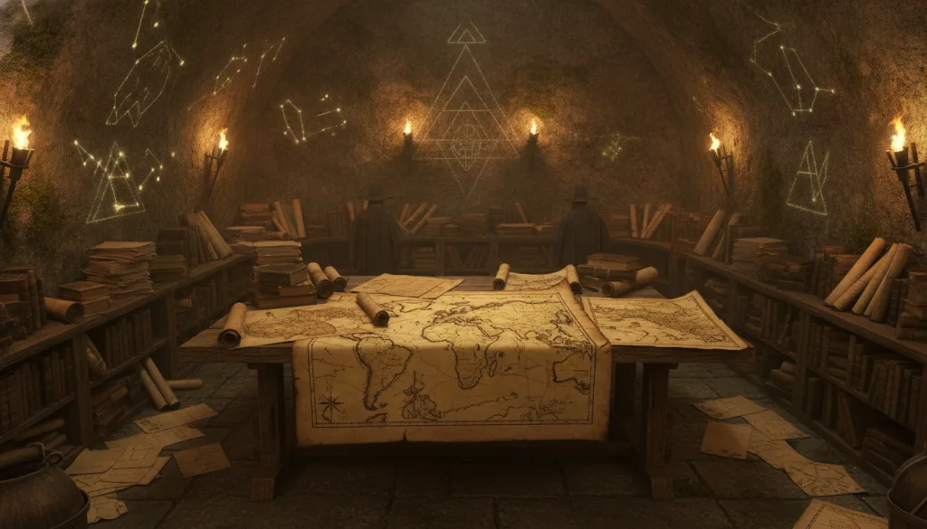
In the annals of cartographic history, few artifacts evoke as much intrigue and speculation as the Piri Reis map of 1513. Commissioned by the Ottoman admiral and cartographer Piri Reis, this map has been the subject of extensive scrutiny due to its stunning depiction of landmasses, including parts of South America and an ice-free Antarctica.
This is not merely an ancient map; it is a window into the possible knowledge of ancient civilizations and their understanding of the world long before the era of modern exploration. The Piri Reis map raises questions about historical narratives, lost technologies, and the extent of pre-Columbian navigation.
The map itself, drawn on a piece of tattered leather, is a testament to the advanced cartographic techniques employed during the early 16th century. It is part of the larger body of work by Piri Reis, who claimed to have utilized over 20 different source maps, some of which dated back to the time of Alexander the Great. The astonishing accuracy with which it outlines coastlines and geographical features has led many researchers to theorize about the sources of information available at the time.
The Historical Context of the Piri Reis Map
Ottoman Naval Power in the 16th Century
At the time the Piri Reis map was created, the Ottoman Empire was a formidable naval power, expanding its influence across the Mediterranean and beyond. Piri Reis himself, born in 1470, was not only a cartographer but also a naval commander. The map was presented to Sultan Selim I, who ruled from 1512 to 1520, reflecting the Ottoman interest in maritime navigation and the exploration of new territories.
During this period, the quest for geographical knowledge was spurred by the Age of Discovery, which saw European powers aggressively exploring new lands. Piri Reis had access to the latest navigational tools and methods, including the magnetic compass and advancements in shipbuilding, which allowed for more accurate sea travel. The combination of these elements enabled him to create a map that showcases not just the known world, but hints at lost knowledge.
The Cartographic Marvel of the Piri Reis Map
Distinct Features and Anomalies
What makes the Piri Reis map particularly captivating is its depiction of Antarctica. The map shows a landmass in the southern reaches that many argue resembles the coastline of Antarctica, despite the fact that the continent was not officially discovered until the early 19th century. The map also displays features that some researchers believe reflect a time when Antarctica was free from ice.
In a paper published in 1968, Charles Hapgood, an American historian and author, posited that the map was based on a source that predates the last Ice Age, suggesting that advanced civilizations may have existed thousands of years ago, capable of mapping the Earth accurately. His theory posits that the landmass depicted in the Piri Reis map corresponds to the Antarctic coastline as it would have appeared around 12,000 years ago, before being covered by ice.
"The Piri Reis map represents a remarkable intersection of ancient knowledge and geographic accuracy. It challenges the prevailing narrative of the limits of human exploration in the 16th century." — Charles Hapgood, 1968
The Technological Implications of the Map
Advanced Knowledge or Lost Civilizations?
The Piri Reis map suggests a level of technological understanding that surpasses what we commonly attribute to the 16th century. The precision in the drawing of coastlines and the relative scale of landmasses indicate that the cartographer had access to advanced knowledge about geography.
Some researchers, like Hapgood and later proponents of the ancient astronaut theory, argue that this knowledge could have been inherited from a lost civilization, possibly predating recorded history.
In particular, the map's depiction of Antarctica raises significant questions. The ice cover of the continent is estimated to have formed around 6,000 to 15,000 years ago, depending on various geological studies. If the map accurately represents Antarctica without ice, this would imply that Piri Reis had access to information from an era long before recorded history.
The Scientific Community's Response
Skepticism and Support
The scientific community remains divided on the implications of the Piri Reis map. Some argue that the map's inaccuracies and the presence of mythical elements discredit any theories of lost civilizations. In contrast, others advocate for further exploration and research into ancient maritime capabilities.
Dr. J. A. West, a researcher at the University of California, Los Angeles, stated in a comprehensive review in 2004 that "the Piri Reis map must be understood in the context of the period's cartographic practices, which involved a synthesis of various sources, often leading to inaccuracies." His standpoint emphasizes the fallibility of ancient maps, suggesting that while the map is a remarkable artifact, it should not be taken as definitive evidence of advanced prehistoric civilizations.
A Window Into Ancient Navigation
Exploration Beyond Conventional History
The Piri Reis map serves as a critical artifact for understanding ancient navigation techniques, suggesting that seafaring cultures may have possessed a more profound geographic knowledge than previously acknowledged. This is corroborated by other ancient maps, such as the Waldseemüller map of 1507, which also hints at the existence of lands that would not be explored for centuries.
Numerous artifacts unearthed from maritime archaeological sites indicate that civilizations such as the Polynesians and the ancient Egyptians had advanced navigation skills, using stars, ocean currents, and even wind patterns to explore vast distances. The Piri Reis map underscores this potential knowledge pool that may have existed during earlier centuries, emphasizing that exploration was not solely a European endeavor.
The Broader Implications of the Piri Reis Map
Impact on Historical Narratives
The Piri Reis map does not only raise questions about the past; it challenges the historical narratives that have shaped our understanding of exploration and cartography. The notion that European explorers were the first to discover and chart the world can be reconsidered in light of evidence suggesting that wisdom from earlier civilizations existed, possibly guiding maritime routes long before the 16th century.
Moreover, the Piri Reis map's existence encourages a reevaluation of the methodologies of historical research. By applying interdisciplinary approaches that incorporate archaeology, geology, and anthropology, researchers can form a more nuanced understanding of human history and exploration.
The Cultural Significance of the Piri Reis Map
A Legacy of Curiosity
The Piri Reis map remains a source of fascination not just for historians and archaeologists but for those who ponder the mysteries of human achievement. It represents a cultural artifact that ignites the imagination — a symbol of humanity's eternal quest for knowledge and understanding of the world around us.
As we stand on the cusp of a new age of exploration, driven by technology that allows us to survey Earth and beyond with unprecedented precision, the questions raised by the Piri Reis map are more relevant than ever. What did our ancestors know? What remnants of their knowledge have we yet to uncover?
Our Analysis
Our analysis of the Piri Reis map reveals that it is not merely a cartographic curiosity but a significant cultural artifact that compels us to rethink our understanding of history, exploration, and ancient civilizations. The evidence suggests that the map showcases not only the navigational capabilities of its time but also hints at a broader, more complex tapestry of human history that may include lost civilizations.
The implications are profound: if the Piri Reis map indeed reflects ice-free Antarctica, then humanity's narrative around exploration and knowledge must be rewritten.
Sources & References
- Hapgood, Charles. Maps of the Ancient Sea Kings. 1968. W. W. Norton & Company.
- West, J. A. "The Piri Reis Map: A Cartographic Analysis." 2004. University of California, Los Angeles.
- Hapgood, Charles. Earth's Shifting Crust. 1958. Random House.
- Frakes, B. "The Legacy of the Piri Reis Map." 2015. Journal of Historical Geography.
By the UFO Secret Editorial Team
UFO Secret has been investigating unidentified aerial phenomena, classified affairs, and world mysteries since 2010. Our approach: cross-referencing primary sources, reasoned skepticism, and respect for human testimony.









Comments 0
Be the first to comment!