What secrets lie within the cartographic depictions of our ancestors?
The Allure of Ancient Cartography
The art of map-making, or cartography, has long fascinated humanity. From the rudimentary sketches of ancient tribes to the meticulously crafted maps of the Renaissance, maps tell tales of discovery and exploration. But what if some ancient maps contained knowledge that defies our understanding of history? What if these maps hinted at civilizations that possessed insights into the Earth long before modern science uncovered them?
Take, for instance, the Piri Reis map, created in 1513 by the Ottoman admiral and cartographer Piri Reis. This map is remarkable not only for its intricate detail but also for its depiction of the South American coastline and portions of Antarctica. How could someone in the early 16th century accurately depict landmasses that were largely unknown to Europeans at the time? Is it possible that Piri Reis had access to ancient sources, or even lost civilizations, that possessed advanced navigational knowledge?
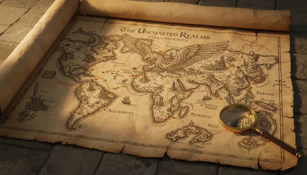
Mapping the Unknown: Antarctic Insights
To explore further, consider the enigma of the Piri Reis map’s Antarctic representation. The map illustrates the continent devoid of ice, showcasing rivers and mountains that only modern technology has recently uncovered beneath its frozen expanse. How did Piri Reis access this information? Was he relying on ancient texts, or were there other means of acquiring this knowledge that we have yet to comprehend?
The implications are staggering. If the landmass was indeed represented without ice, it raises questions about the timeline of human exploration and the extent of ancient civilizations’ geographical understanding. Did advanced societies exist thousands of years ago, only to be lost to history? Could they have developed technologies that allowed them to navigate the globe, mapping the Earth with precision that seems impossible for their time?
The Vinland Map: A Controversial Artifact
Another cartographic mystery is the Vinland Map, which allegedly depicts a portion of North America as early as the 15th century. The map shows a region labeled "Vinland," believed to be a reference to the Viking settlements established in North America. However, the authenticity of the Vinland Map has been fiercely debated. Are its origins genuine, or is it a forgery designed to bolster the narrative of Viking exploration?
The controversy surrounding the Vinland Map raises questions about the motivations behind such artifacts. If the map were indeed authentic, what would it imply about the Viking's navigational capabilities and the extent of their travels? Could they have traded with indigenous tribes, sharing knowledge that was lost to the annals of time? Or is it merely a tantalizing glimpse into a past that may not be as straightforward as we assume?
The Mappa Mundi: A Medieval Wonder
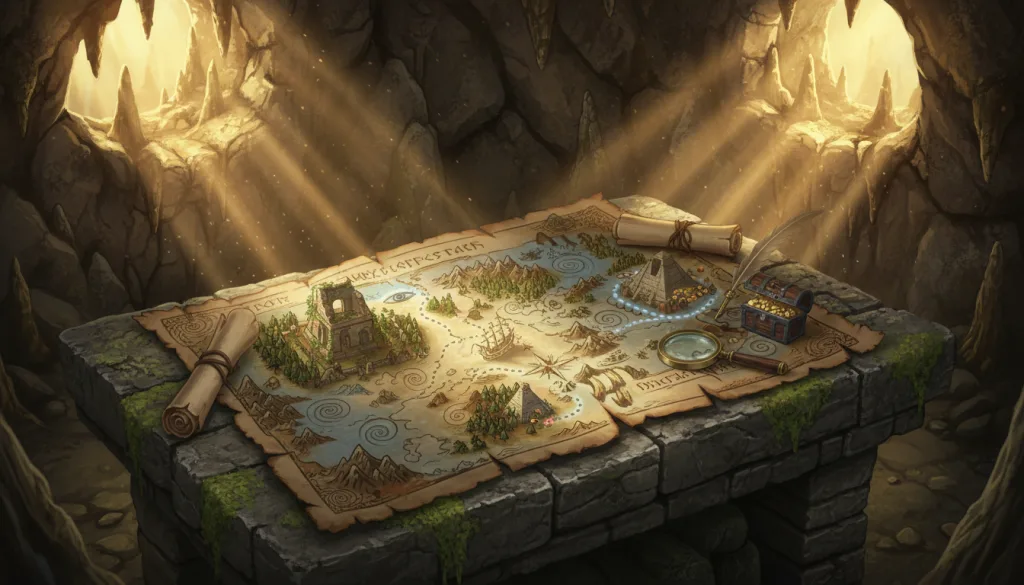
Turning our gaze to the medieval period, we encounter the Hereford Mappa Mundi, a beautifully illustrated map that represents an eclectic mix of geography, mythology, and religious symbolism. Spanning roughly 1,300 years, the map encapsulates the knowledge of the known world while intertwining the supernatural. What can we glean from its intricate design, which places Jerusalem at the center of the Earth? Is it merely an artistic representation, or does it hold clues to a deeper understanding of the world?
What’s particularly puzzling about the Hereford Mappa Mundi is its amalgamation of facts, fiction, and folklore. How did medieval scholars reconcile the vastness of the world with their limited experiences? Did they possess hidden texts or knowledge kept secret from the masses? The Mappa Mundi indicates more than just geography; it’s a portal into the collective psyche of the age, raising questions about how ancient civilizations perceived their place in the universe.
Beyond the Horizon: The Possibility of Lost Civilizations
As we sift through these ancient maps, a recurring theme emerges — the tantalizing notion of lost civilizations that may have existed long before recorded history. The notion that advanced cultures could have thrived, explored, and mapped the Earth with precision begs exploration. But why did they fade into obscurity? Did cataclysmic events erode their legacies, or did they choose to conceal their knowledge from the world?
Could these lost civilizations have engaged in technologies that seem impossible today? What if they harnessed energy sources or navigational tools that allowed them to traverse vast oceans with ease? Such thoughts evoke a sense of wonder and a yearning for truths obscured by time. As we examine these ancient maps, we might find ourselves standing at the precipice of rediscovering insights that could rewrite our understanding of human history.
The Role of Forbidden Archaeology
In the realm of forbidden archaeology, the implications of ancient maps extend beyond mere geography. What secrets do these artifacts hold about our origins, our migrations, and our understanding of the planet? The term “forbidden archaeology” encompasses those discoveries that challenge mainstream narratives and provoke controversy. Are we only scratching the surface of what ancient civilizations knew?
Consider the implications of the ancient maps that depict lands not officially recognized by contemporaneous cultures. Are these maps evidence of advanced technology, or do they uncover a shared knowledge across civilizations that we have yet to comprehend? The fact that some of these maps depict lands that were not “discovered” until centuries later is a stark reminder that our understanding of history is still evolving.
A Cartographic Legacy: The Questions That Remain
As we conclude our exploration through the enigmatic world of ancient maps, we are left with more questions than answers. What do these artifacts reveal about our ancestors’ understanding of the Earth? Were these maps merely artistic interpretations, or did they encompass a deeper wisdom that has been lost to time? How much of what we believe about human history is shaped by a narrow view, and what might we discover if we dared to question it?
In our quest for knowledge, we find ourselves drawn to the possibility of undiscovered truths lying dormant within the remnants of ancient cartography. What if there’s a hidden narrative that connects disparate cultures and civilizations? What if our ancestors possessed a wisdom that we have yet to uncover, and in their maps, they left behind breadcrumbs leading us toward a greater understanding of our shared heritage?
The Future of Exploration: An Invitation to Inquiry
The allure of ancient maps is not merely in their historical significance but in their potential to reshape our perception of the past. As we delve deeper into the mysteries of these artifacts, we must remain open to new interpretations and challenging established paradigms. Are we ready to embrace the possibility of knowledge that transcends time and space, hidden within the folds of ancient maps?
What if the key to unlocking our understanding of Earth lies in the very maps that once guided our ancestors? The journey of discovery is ongoing; the truths we seek may be just beyond the horizon, waiting for us to ask the right questions. The tantalizing prospect of uncovering the impossible knowledge of the Earth beckons us, urging us to reconsider what we think we know about our history and our place in this vast, enigmatic universe.





Comments 0
Be the first to comment!